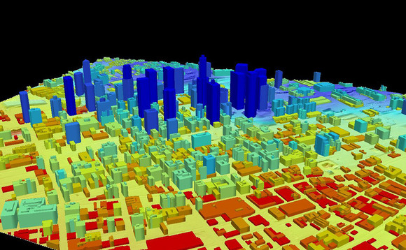
Researchers at New York University have refined the procedure, resulting in much more detailed images. LiDAR can be used in different fields to benefit communities around the world. When attached to any aircraft, it receives space and time data about the surface below. The data can later be studied for archaeological purposes or applied to urban planning, disability access, structural integrity, and other projects. The possibilities are endless.
How cities are scanned using LiDAR Technology?